
Burnsville ZIP Code Coverage
Minnesota’s county and ZIP list identifies two official Burnsville, Dakota County entries: 55306 and 55337. That makes them the correct city-level orientation points for a Burnsville postal search. The research did not locate official street-range breakouts, a citywide ZIP+4 list, or a verified neighborhood-by-ZIP assignment. A Burnsville delivery address still needs an address-level USPS result. The Dakota County map is useful for visual context, but it is not a legal survey or a recorded boundary.
| ZIP entry | Official city reference | Postal source | Use with care |
|---|---|---|---|
| 55306 | Burnsville, Dakota County | Minnesota DPS county and ZIP list | Confirm any exact address with USPS |
| 55337 | Burnsville, Dakota County | Minnesota DPS county and ZIP list | Includes the listed Burnsville Post Office facility address |
Neither row proves that every street in a named Burnsville neighborhood receives that ZIP. Burnsville postal delivery areas, city limits, school districts, tax districts, watershed districts, and neighborhood boundaries are different geographic systems. A useful Burnsville postal reference records which system supplied each result instead of combining those labels into one boundary.
Read Burnsville ZIP Geography
The Dakota County ZIP map supplies a countywide view of postal geography around Burnsville. Its own disclaimer matters: the map is compiled from city, county, and state sources and is not a legal survey or recorded boundary. Use it to see Burnsville’s broad context, then return to the USPS result for a particular address. That order prevents a visual line from being mistaken for the delivery code on a parcel or a household record.
Burnsville’s Minnesota River bluff, major roads, municipal edges, parks, and neighborhood boundaries can all explain why map layers look different from one another. The city’s named neighborhood boundaries in Burnsville are civic orientation aids, not postal claims. When a county map and a postal result seem to disagree, save both source dates and check the input address, directional prefix, street type, and unit before treating it as a boundary issue.
Dakota County’s ZIP map is the official county map source for the Burnsville postal geography described here.
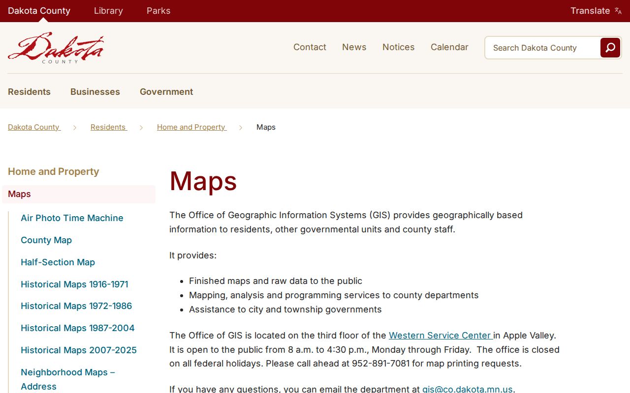
The map provides useful orientation, while its disclaimer keeps the Burnsville ZIP search tied to address-level postal verification.
Use the Burnsville Postal Lookup
USPS ZIP Lookup is the controlling source for a particular Burnsville delivery address. The By Address form for a Burnsville search requires street address, city, and state; company and apartment, suite, or other details are optional, and a ZIP may be supplied when it needs checking. USPS also offers City and State and Cities by ZIP routes. Its results standardize postal addressing, but a recognized city name or postal alias does not establish who occupies an address.
| USPS field | Input type | Required | Burnsville search note |
|---|---|---|---|
| Street Address | Address field | Yes | Keep directional words and street type. |
| City | City field | Yes | Enter Burnsville for an address-level result. |
| State | State field | Yes | Use Minnesota. |
| Apt/Suite/Other | Unit field | No | Include the unit when it is part of the address. |
| ZIP | ZIP field | No | Enter it when checking or correcting a postal result. |
Keep the submitted form of a Burnsville street, including directional prefixes, suffixes, street type, hyphenation, and unit information. Record the standardized USPS result separately. That distinction explains why the same Burnsville location can fail in a county system if an apartment number is dropped or a directional street name in Burnsville is shortened.
The USPS lookup shows the address, city-and-state, and ZIP search routes used for a Burnsville postal check.
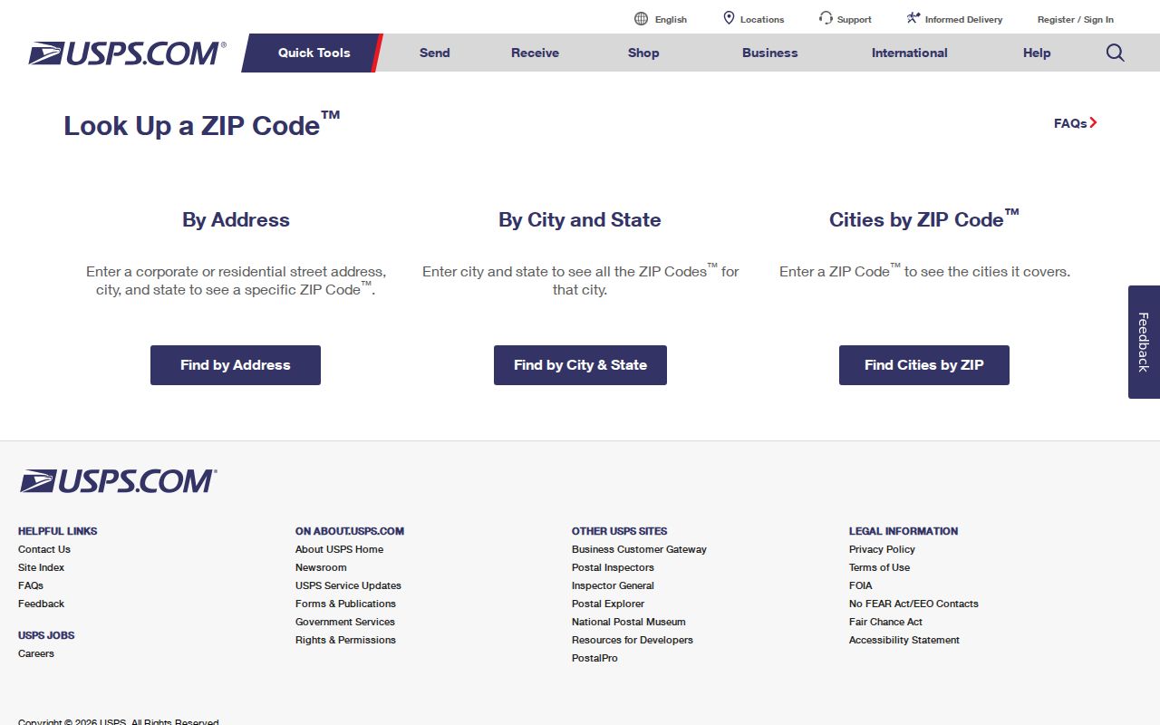
Use its standardized output as the postal part of a Burnsville record trail, not as a statement about a person at the address.
Finding Burnsville Residents by ZIP
A Burnsville postal ZIP is a starting filter, not a public resident roll. The county Property Information search accepts a Burnsville address or Parcel ID, rather than a public owner-name landing field. Minnesota’s MNVotes registration lookup accepts first name, last name, birth information, and either a ZIP route or county route with address fields. It confirms registration status for the searched details, not occupancy or continuous residence. The separate voter-information request process has certification and Dakota County Auditor routing rules under Minnesota law.
- Run the exact Burnsville address through USPS and retain the standardized result and search date.
- Open Dakota County Property Information with the address or Parcel ID to identify the parcel and its municipality.
- Use the county map as a geographic check, remembering that its ZIP lines are not legal or delivery boundaries.
- When checking an individual registration, use MNVotes with the required name, birth, and address details, including a unit when applicable.
- Compare dates and roles before drawing a conclusion from postal, parcel, and registration results.
Once a ZIP has narrowed the Burnsville area to a street, the Burnsville street directory has the address-first county and historical workflow. Do not use a ZIP-wide query as a substitute for the exact address, PID, and date that each Burnsville record system requires.
Join Burnsville ZIPs to Parcels
The Dakota County property search ties a Burnsville address to a Parcel ID, or PID, which is a county parcel identifier. The official help says a Burnsville parcel panel can show owner name, owner address, municipality, tax description, school and watershed districts, tax and building tabs, printable property details, and map layers. Search a full or partial address beginning with the house number and street, or enter a PID with or without dashes. Use a map click when similar street names or directional forms create competing results.
The property card separates a parcel’s situs, or physical map location, from the owner mailing address. A mailing address elsewhere may be used for tax correspondence or an agent. It is not proof that the owner lives at the Burnsville parcel. Save the PID for the Burnsville parcel, municipality, legal description, and source date before joining a ZIP result to any other record. New or pending parcels may not yet have complete information.
Note: A ZIP is a weak identity key, while an exact standardized address and county PID give a Burnsville record comparison a firmer basis.
Burnsville ZIP Boundary Limits
Burnsville’s city boundary does not control every postal label. The Census Burnsville place profile can associate the city with ZCTA context including 55044, 55306, and 55337. A ZCTA is Census statistical geography, not a USPS delivery assignment. The research specifically warns against publishing 55044 as a confirmed Burnsville mailing ZIP without an address-level USPS result. That distinction is central to any Burnsville postal reference.
- ZIP
- A USPS delivery geography used to route mail, not a city-limit boundary.
- ZIP+4
- The more specific postal extension returned for a particular recognized delivery address.
- PO Box ZIP
- A ZIP used for post-office-box service; it should not be assumed to describe all nearby street delivery.
- Unique ZIP
- A ZIP assigned to a single organization or institution. None was verified for Burnsville in the research.
- Carrier route
- A postal delivery route, not a substitute for a parcel, city, or neighborhood boundary.
City, county, USPS, Census, school, watershed, tax, and neighborhood polygons can overlap without matching. When a Burnsville search involves two of them, name the geographic source used for Burnsville and do not let one stand in for another.
Burnsville Post Office
The USPS location record for the Burnsville Post Office places the facility at 13800 Nicollet Blvd, Burnsville, MN 55337-9929. It lists phone 952-890-2274 and retail hours of 8:30 a.m. to 5:30 p.m. Monday through Friday and 9:00 a.m. to 1:00 p.m. Saturday. These are facility facts, not a statement that every Burnsville address receives ZIP 55337 or that the post office defines the full delivery boundary.
Use the facility in Burnsville as a practical postal orientation point after confirming a particular Burnsville address with the ZIP lookup. The facility ZIP+4 belongs to the post office address. It should not be copied into a resident or parcel record. Delivery results must come from the relevant address search.
USPS’s Burnsville Post Office record supplies the facility details used for this Burnsville postal orientation.
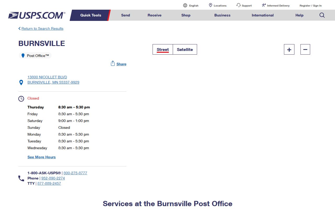
The location display connects the Burnsville postal reference to one facility without claiming a citywide delivery pattern.
Burnsville ZIP and ZCTA Context
The ZIP-ZCTA distinction is especially useful when reading aggregate figures. The 2020 Census profile reports Burnsville city at 64,317 people and roughly 24.8 square miles of land. Those are city-place figures, not counts for one Burnsville postal ZIP. The Metro Council report also records a 2010 population of 60,306 and a 2020 population of 64,317. Such numbers describe a dated city geography, so they should never be assigned to 55306 or 55337 as if each ZIP matched the Burnsville boundary.
For a named Burnsville address, postal delivery controls. For a county parcel, the PID and map location control. For an aggregate comparison, use the published city or ZCTA label. Keeping those keys separate makes a Burnsville postal reference more accurate, particularly near municipal edges, river-bluff areas, and roads where layers can differ.
Historical Burnsville ZIP Checks
Older Burnsville research needs a dated postal source. The USPS postmaster finder permits searches by first three ZIP digits and date range, while warning that older ZIPs can be difficult to identify. The research did not locate an exact historical Burnsville ZIP establishment date or a verified ZIP-transition timeline. That is a gap to preserve, not a reason to infer a modern ZIP from an old directory or township label.
Historical Burnsville sources may use rural-route, township, South Burnsville, or neighboring-place wording. Test the old label alongside the modern address, then join it to a PID or legal description if county property records are involved. Record the source date and the input used. A Burnsville postal result can change with standardized formatting or current delivery rules, while the historical source should retain its original form.
Burnsville Postal Lookup Limits
A valid Burnsville postal result tells where USPS routes mail for the address entered at that time. It does not confirm a current resident, an owner, a voter, or a full household. MNVotes is a registration-status system and updates nightly; a nonmatch can result from an address, spelling, unit, recent registration, protected status, or no registration. Minnesota voter data also has record-specific limits, including the Safe at Home address-confidentiality program.
Use Burnsville postal and county records for lawful personal, family, property, civic, or estate research. Retain only the details needed for that purpose, protect private information, and do not use any record to harass another person. When a ZIP, city, or map layer conflicts, return to the official Burnsville address result and document the source date instead of guessing.