
Burnsville Sources for Previous Residents
Burnsville previous residents are best traced as a Burnsville era-by-era record trail. Start with the current parcel, then move to recorded instruments and historical publications. Dakota County’s online index has an identified Abstract start date, while older paper, image, and collection coverage varies by record type. Telephone books and census indexes add household evidence but have their own gaps. Burnsville permits may tie a project to a Burnsville address and date, yet their applicant, owner, and contractor fields describe roles in an application rather than people who lived there.
| Source | Period represented | Where held | What it can show |
|---|---|---|---|
| Burnsville Property Information parcel card | Current county assessment view | Dakota County Property Information | PID, legal description, assessment owner and mailing fields |
| Burnsville RecordEASE Abstract index | From July 8, 1993 in the portal summary | Dakota County Property Taxation & Records | Recorded instruments, parties, dates, document types, legal-description references |
| Burnsville telephone-book holdings | Burnsville 1964 and 1966-2011, with 2010 yellow pages only | Minnesota Historical Society finding aid | Dated printed listings and address or telephone fields where visible |
| Burnsville DCHS historical collections | County census material 1849-1940 and dated local collections | Dakota County Historical Society | Census, newspapers, cemeteries, obituaries, church, plat, and directory leads |
| Burnsville city permit reports | Posted monthly commercial reports for 2024-2026 | Burnsville Building Inspections or public-data route | Project date, permit number, description, and responsible-party labels |
For a date outside a posted portal or report, make a focused request with the Burnsville address, PID, record type, and date range. Dakota County’s public-data guidance says inspection is free and requests can be made by email, phone, mail, or in person; copies may carry charges for a Burnsville request.
Burnsville Address Identity Before Names
Before looking for past residents, open Dakota County Property Information with the current Burnsville address or PID. The property panel separates the Burnsville map location from the owner mailing address and displays the municipality, tax description, school and watershed districts, tax fields, building data, printable property details, and linked plats where available. Capture the Burnsville PID and legal description before following a name. They are the more stable bridge when an old Burnsville listing uses a township, subdivision, rural route, or an earlier street label.
A Burnsville property card records assessment information. It does not establish a current household or prove that the mailing address belongs to the person at the parcel. A new or pending Burnsville parcel may also have incomplete fields. Treat an absent field as an availability issue, then use the county map, recorder, or a focused request to learn whether another Burnsville record layer exists.
Note: Owner mailing fields and the mapped parcel location are separate county fields, so neither should be relabeled as a confirmed residence.
Burnsville Deed Chains Backward
Dakota County maintains recorded deeds, mortgages, liens, and other instruments in Abstract and Torrens systems. Most Burnsville-area county property is Abstract, and the map layer can identify the system for a Burnsville parcel. The legal description is essential because a title record may continue across a split, combine, subdivision, or changed Burnsville street label. A current assessment owner is merely the starting point. The Burnsville chain develops only by reading dated instrument roles and matching the legal description at each link.
- Record the Burnsville address, PID, legal description, and Abstract or Torrens designation from the county property card.
- Use RecordEASE to find the current party’s recorded purchase or relevant instrument, checking its document type and recording date.
- Read the seller or other prior party in the instrument, then search that person as a grantee or through the legal-description linkage for the earlier acquisition.
- Repeat the sequence backward while retaining document number, date, party role, legal description, and whether an image was available.
- When the online index is not enough, ask Property Taxation & Records for the responsible historical access route and request only the needed date range or document.
- Grantor
- The party conveying an interest in a recorded instrument. The term identifies a document role, not a residence.
- Grantee
- The party receiving an interest. A grantee may be an individual, trust, or entity and is not automatically an occupant.
- Chain of title
- A dated sequence of recorded interests connected by the same legal description, parcel, or tract reference.
- Legal description
- The recorded land description that can bridge an old address label more reliably than a street name alone.
Burnsville Recorded History and Alerts
The RecordEASE login is the entry to Dakota County’s Burnsville deed-index system. Its portal summary reported Abstract documents indexed from July 8, 1993, and live processing dates that change over time. County budget material describes a permanent repository from 1847 and roughly 1.6 million pre-1995 mortgages, deeds, and miscellaneous documents imaged and indexed in a project completed in 2021. The numbers make the system useful for a Burnsville address history, but they do not promise that every older Burnsville instrument or image is equally searchable online.
The RecordEASE entry screen is the starting point for a previous residents deed-chain search after the parcel identity has been preserved.
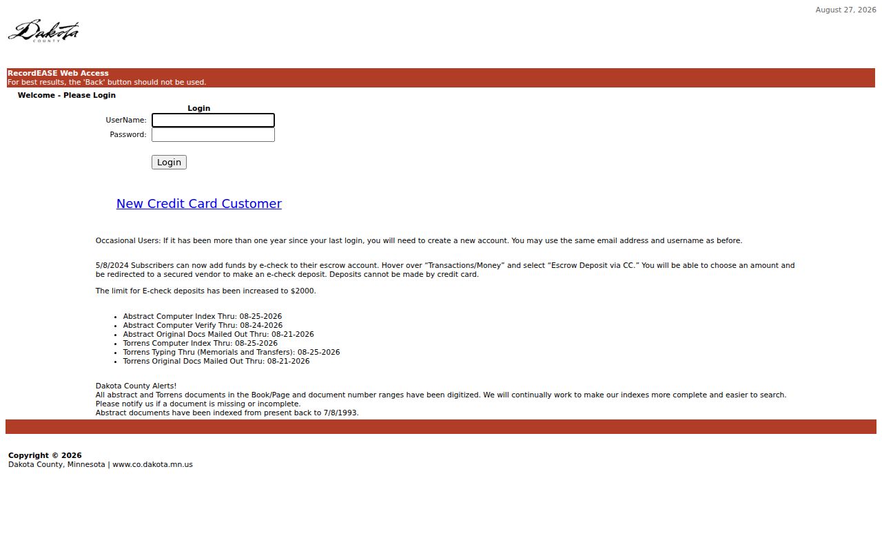
Record the portal access date because a visible processing date is a current snapshot, not a fixed coverage guarantee.
Dakota County Property Watch is a different tool. It sends recording-activity notifications for a selected property and carries the county’s accuracy and completeness disclaimer. It can be a practical follow-up after identifying a Burnsville parcel, but it is not evidence of older ownership or of previous residents.
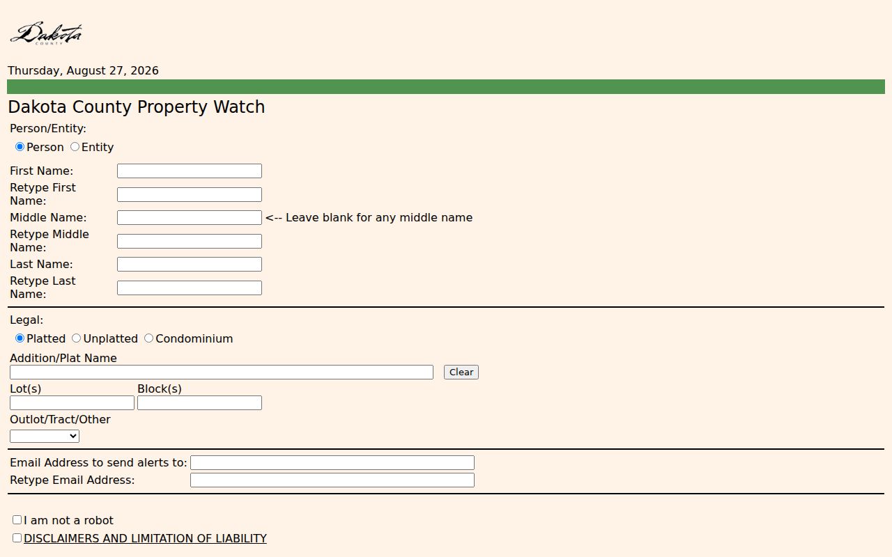
The alert service looks forward from an identified property, while the deed chain works backward through recorded instruments.
Burnsville Telephone Books as Evidence
The Minnesota Historical Society’s Dakota County telephone-directory finding aid identifies a Burnsville run for 1964 and 1966 through 2009, plus 2010 yellow pages only and regular and yellow-pages entries for 2011. It also classifies South Burnsville separately from 1983 through 1996. Search both Burnsville labels when the period fits. The finding aid represents Burnsville telephone books, not a verified complete city-directory or reverse-directory run, so record the volume year, classification, page or section, and whether an entry is personal or business-oriented.
The MNHS staff search request can search one person or business in up to five years. It offers city directories, telephone books, or both, and lists $10 for city directories, $10 for telephone books, or $20 for both, with scanning or email included. Processing is generally three to four weeks and can take up to 12. Staff search is a helpful route when a Burnsville visit is not practical, but a printed entry remains dated Burnsville evidence rather than proof that every household member lived at the Burnsville address.
Burnsville Past Household Pairing
Directories and deeds often leave a Burnsville household question open. Dakota County Historical Society’s searchable records include more than 500,000 church, cemetery, and census records. Its sample 1920 census results have Last Name, First Name, Relationship, Age, occupation, Address, and Town fields. The 1900 results instead include relationship, birth month and year, years married, children, immigration, and town fields. Pair a dated Burnsville listing with the relevant census source, but do not compare fields from different census years as if they were collected the same way.
- Choose a telephone-book or historical directory year tied to the Burnsville address and record its exact classification.
- Search DCHS by surname and collection type, testing Burnsville, township variants, and nearby historical place labels when needed.
- Compare household relationship, age, town, street, spouse or parent clues with the dated listing, keeping the source year visible.
- Use obituary, cemetery, church, newspaper, or naturalization material as a separate dated lead, not as a substitute for the address record.
Collection details and shelf routes belong to the Burnsville city directory page. For a Burnsville address history, the useful output is a timeline with source date, role, identifier, and unresolved Burnsville mismatch rather than a flat list of names.
Burnsville Household Trail Endpoints
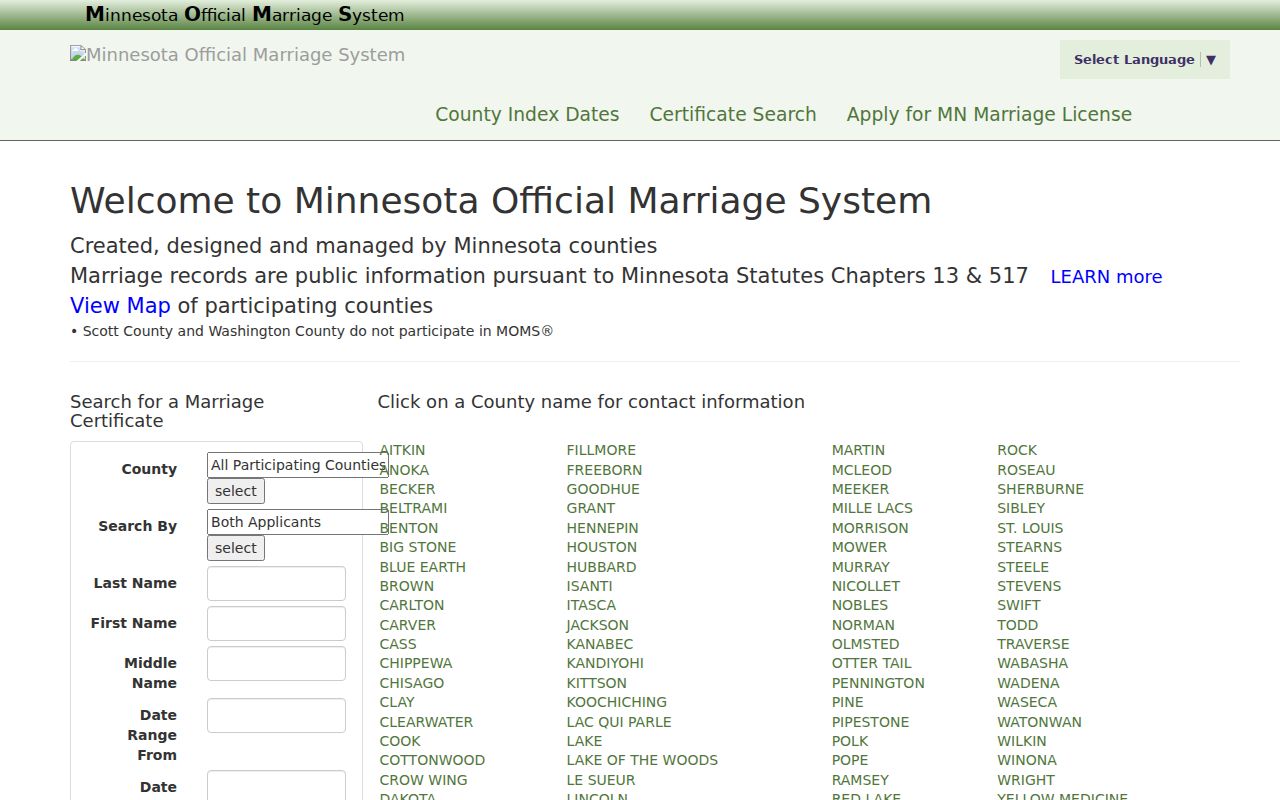
Marriage, obituary, cemetery, and probate material can add a date or relationship clue after the Burnsville parcel and household trail is already grounded. Minnesota’s Marriage/Divorce Index is a county marriage-index search, while a certified marriage copy comes from the county that issued the license and a divorce decree is held by the district court. Neither record type tells the full story of who lived at a Burnsville address. Keep its date and custodian distinct from the Burnsville property record.
The county marriage-index entry illustrates an official source that can help place a Burnsville family event in time without replacing the deed, directory, or census evidence used for Burnsville previous residents research.
DCHS also holds cemetery and obituary material, newspapers on microfilm back to the 1850s, and county historical collections that can corroborate a dated household connection.
Burnsville Addresses Before Incorporation
Burnsville’s historical place labels matter in a Burnsville address trail. The city was founded in 1858 and incorporated in 1964. Minnesota Historical Society Municipal Board materials include Burnsville incorporation and annexation records from 1959 through 1973, with much of the material dating from 1961 through 1966. An old Burnsville address can therefore appear under Burnsville Township, a neighboring place, or a boundary-era label before it appears in a modern city format.
No official complete Burnsville street-renumbering date or address crosswalk was located. Dakota County highway-map material references a Uniform Street Naming and House Numbering System, but the practical Burnsville bridge is the PID, legal description, plat, deed date, and old Burnsville directory label. Do not silently modernize the historical wording. Preserve both forms and state what still does not match.
Burnsville Previous Residents Limits
Burnsville permit records can show a project date and the roles named on a municipal application. The city’s permit page directs users to the ViewPoint portal, Building Inspections, or a public-data route, and monthly commercial reports are posted for 2024 through 2026. Older Burnsville material should be requested by specific month and address. An owner, applicant, contractor, or contact in a Burnsville permit record is not automatically a resident, and a Burnsville parcel owner, deed party, or directory listing may each refer to different people at different dates.
Burnsville previous residents research cannot prove complete occupancy, current residence, family relationships, or the meaning of a missing entry. A name can be absent because of an unlisted number, a scan gap, a spelling variation, a household-head convention, or a move during a publication interval. Label the Burnsville source and date, and use neutral descriptions such as recorded party, directory listing, or census household.
Lawful use. Use Burnsville address history for house history, family research, estate matters, or personal curiosity. Do not use dated records to track, stalk, harass, or contact a living person.